
Blog
Resource Library
Evidence for every road location.
Guides, case studies and engineering notes for teams turning video, transport data and roadside sensing into location-based evidence for safer, clearer infrastructure decisions.
Location intelligence
Understand what is happening at a road, corridor or network location.
Evidence frameworks
Build defensible records from video, movement data and field observations.
Safety risk
Measure conflicts, near misses and emerging risk before harm accumulates.
Deployment & assurance
Validate roadside intelligence before it informs operational decisions.
Case studies
See how councils and transport teams turn locations into evidence bases.
- Evidence Frameworks
- Safety Risk
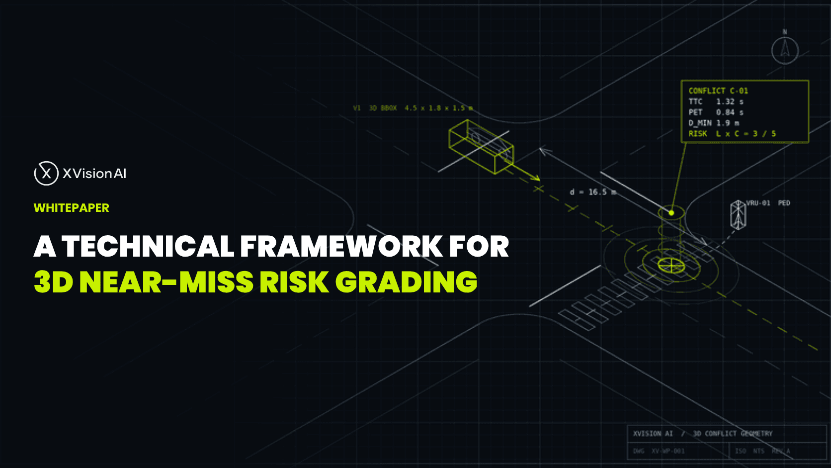
Whitepaper: A technical framework for 3D near-miss risk grading
Near-miss grading only helps when locations produce measured trajectories — not pixel approximations. This technical whitepaper sets out a three-pillar framework for consequence-aware conflict assessment that transport engineers can use to prioritise interventions with defensible evidence.
Read full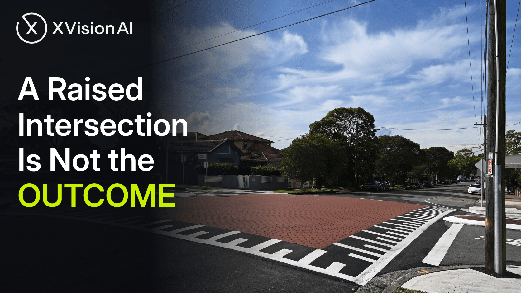
- raised safety platforms
- intersections
A Raised Intersection Is Not the Outcome
Victoria has made raised safety platforms a standard intersection treatment, Transport for NSW has published mass-action guidance for Main Roads, and pedestrian deaths are still rising. A platform poured is an output. Whether that location got safer is a different question — and it still has to be answered after the works.
Read full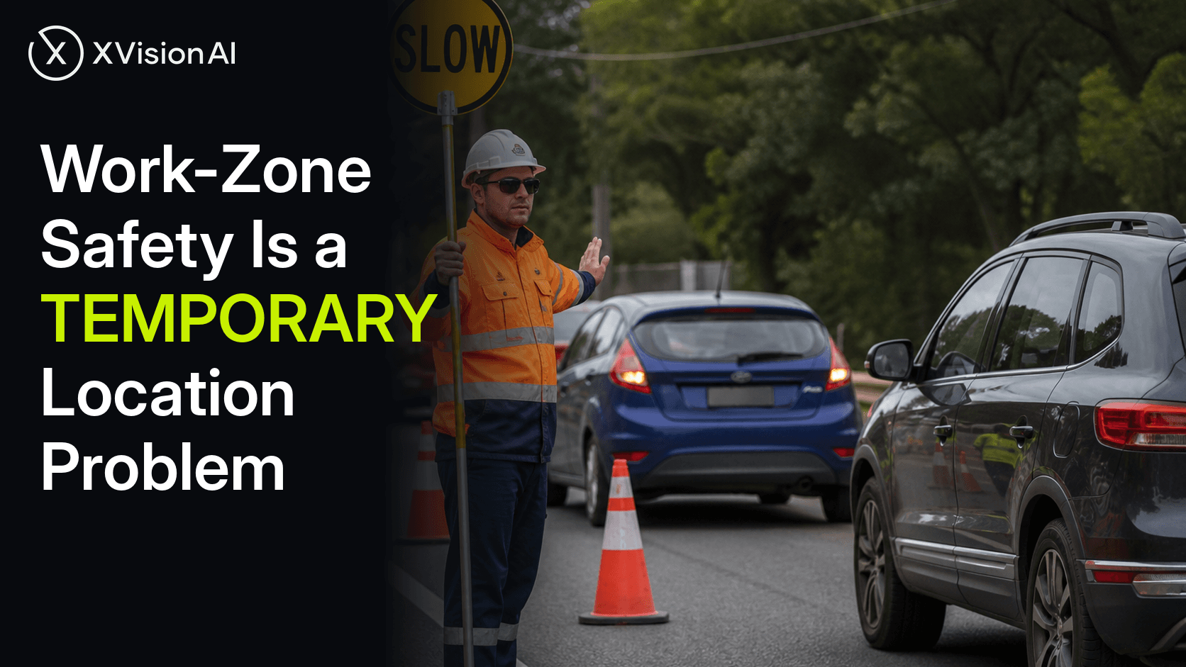
- temporary traffic management
- roadworks
Work-Zone Safety Is a Temporary Location Problem
Australia is harmonising temporary traffic management training, rewriting Codes of Practice, and trialling end-of-queue treatments — while work-zone trauma remains under-reported. The missing capability is location evidence: what is happening at this worksite, what changed after the Traffic Guidance Scheme went in, and how this temporary place compares with the rest of the network.
Read full
- Black Spot
- road safety
Black Spot Funding Is Not the Outcome
Australia’s 2026–27 Black Spot round is putting serious money on named locations — $48 million across 60 Victorian sites, $45.1 million across 82 in NSW, $30.2 million across 44 in Queensland. Approval proves a site cleared the eligibility bar. It does not prove the location got safer. That answer still has to be earned after the works go in.
Read full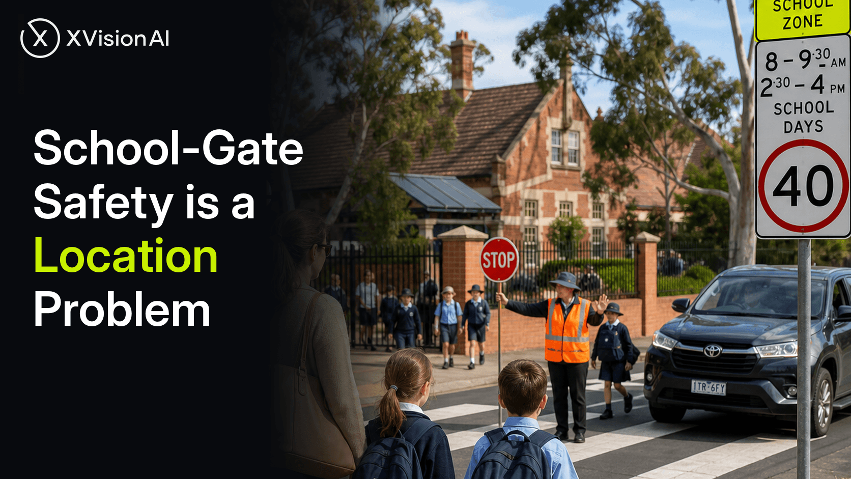
- school crossings
- pedestrian safety
School-Gate Safety Is a Location Problem
Australia is upgrading school crossings at scale — 40 km/h zones, raised platforms, supervised sites — while pedestrian deaths keep rising. The missing capability is location evidence: what is happening at this crossing, what changed after the treatment, and how this site compares with the rest of the school-gate network.
Read full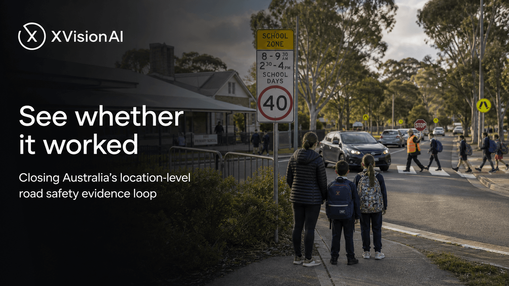
- Road Safety
- school zones
See whether it worked: closing Australia’s location-level road safety evidence loop
Australia’s road toll is rising while serious-injury progress remains hard to measure. This essay argues that continuous, location-level evidence—before and after interventions at named places—is the missing link for Safe System delivery, from school crossings to worksites.
Read full
- Safety Risk
- Evidence Frameworks
The Legacy of Blackspot Programs
Blackspot programs have delivered significant road safety improvements by directing investment toward locations with demonstrated crash histories. However, crash records are inherently retrospective, measuring where harm has already occurred rather than where risk is emerging. This dossier examines the strengths and limitations of outcome-based safety assessment and explores how exposure-based measures, including conflict analysis and near-miss detection, can complement traditional blackspot methodologies to support more proactive safety management.
Read full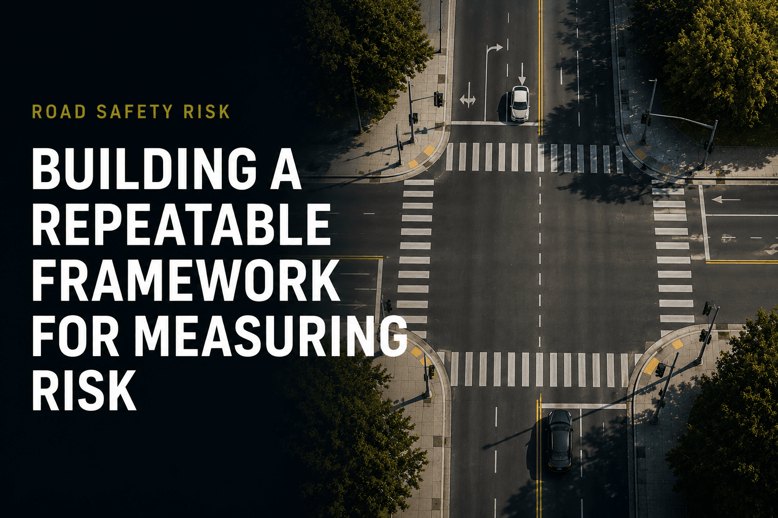
- Evidence Frameworks
- Safety Risk
Building a Repeatable Framework for Measuring Road Safety Risk
Road authorities have well-established frameworks for measuring traffic operations, but road safety remains heavily dependent on historical crash data. This article explores how conflict analysis, PET, TTC, severity assessment and risk scoring can help create a repeatable framework for identifying and prioritising road safety risks before crashes occur.
Read full
- Safety Risk
- Evidence Frameworks
The Blackspot Paradox: Why We Wait For Crashes Before We Act
Road safety funding is often directed toward locations with established crash histories, creating a paradox where intervention is delayed until harm has already occurred. This article explores why traditional blackspot programs struggle to prevent emerging risks and how near-miss analytics can provide the evidence needed to act before crashes happen.
Read full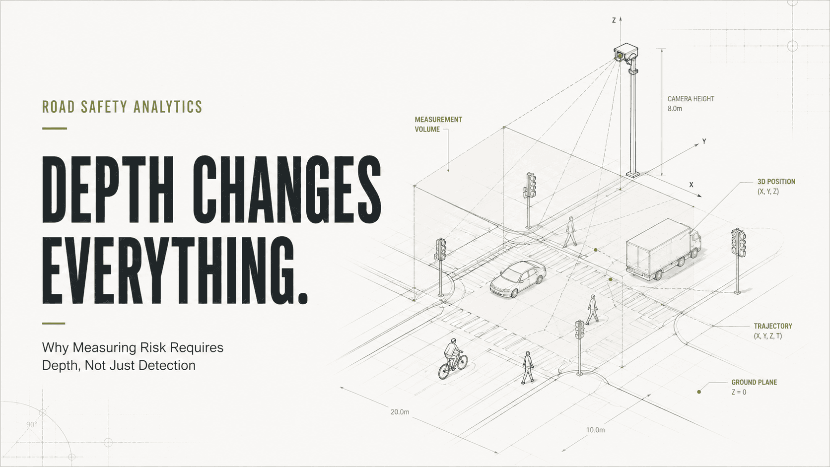
- Safety Risk
- Evidence Frameworks
Why Measuring Risk Requires Depth, Not Just Detection
Learn why depth perception is critical for near-miss detection, conflict analysis and road safety risk assessment. Discover how spatial understanding enables more accurate PET, TTC and infrastructure intelligence.
Read full
- Deployment & Assurance
- Evidence Frameworks
Engineering Dossier
A practical framework for deploying infrastructure intelligence safely within existing transport operations — shadow mode, controller-safe integration, fail-safe fallback and engineering evidence.
Read full
- Deployment & Assurance
- Evidence Frameworks
Engineering Brief
Adding intelligence to road infrastructure is an engineering, governance and safety challenge — not simply a technology challenge. How Xvision validates performance before activation.
Read full
- Case Study
- City of Stonnington
CASE STUDY: How the City of Stonnington Built One of Australia's Most Advanced Road Intelligence Networks
Over seven years, the City of Stonnington transformed a fragmented traffic monitoring system into a municipality-wide infrastructure intelligence network supporting transport planning, road safety, active transport and public realm decision-making. Beginning with one roadside unit in 2019, the deployment has grown to more than 40 units alongside temporary deployments. Today, the network monitors more than 60 million vehicle movements each year and assesses approximately 157 near-miss interactions every day, providing Council with one of Australia's most comprehensive evidence platforms for understanding movement, measuring risk and evaluating infrastructure outcomes.
Read full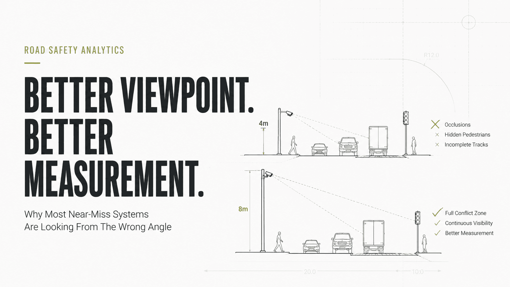
- Safety Risk
- Location Intelligence
Why Most Near-Miss Systems Are Looking From The Wrong Angle
Near-miss detection is often treated as an artificial intelligence problem, but it is first a geometry problem. This article explores how mounting height, viewing angle, occlusions and spatial coverage directly influence the quality of conflict analysis, PET, TTC and road safety risk assessment. It argues that better measurement begins with better observation and that deployment geometry may be more important than AI accuracy itself.
Read full