ROAD INTELLIGENCE, BY LOCATION

Traffic questions,answered.

Start with the cameras and transport data you already have. Add XVision for the real-time and behavioural visibility they cannot provide.

Command keeps the evidence, decisions, interventions and outcomes connected to the location.

Proven in live operations

City of Stonnington·7+ years in operation·40+ roadside units·Permanent and temporary deployments

Start with the location.Build evidence you can defend.

Begin with the question and validate the CCTV, transport data, studies and reports already available. Identify what remains unknown, then add XVision for the real-time and behavioural evidence needed to close the gaps. Command brings every source and finding into one traceable record that supports engineering, governance and investment decisions.

Location

High St / St Edmonds Rd

Why are drivers not yielding during the school peak?

  1. 01

    Review and validate existing evidence

    Existing CCTV + connected vehicle data

    What is already known, how current it is and whether it can answer the question.

  2. 02

    Fill the evidence gaps

    Scout · 7-day investigation

    Real-time visibility into yielding, road-user interactions and physical risk context.

  3. 03

    Build the decision-ready record

    One defensible evidence package

    Validated existing evidence and XVision findings brought together in one traceable record.

See how the road is really used.Capture the ground truth.

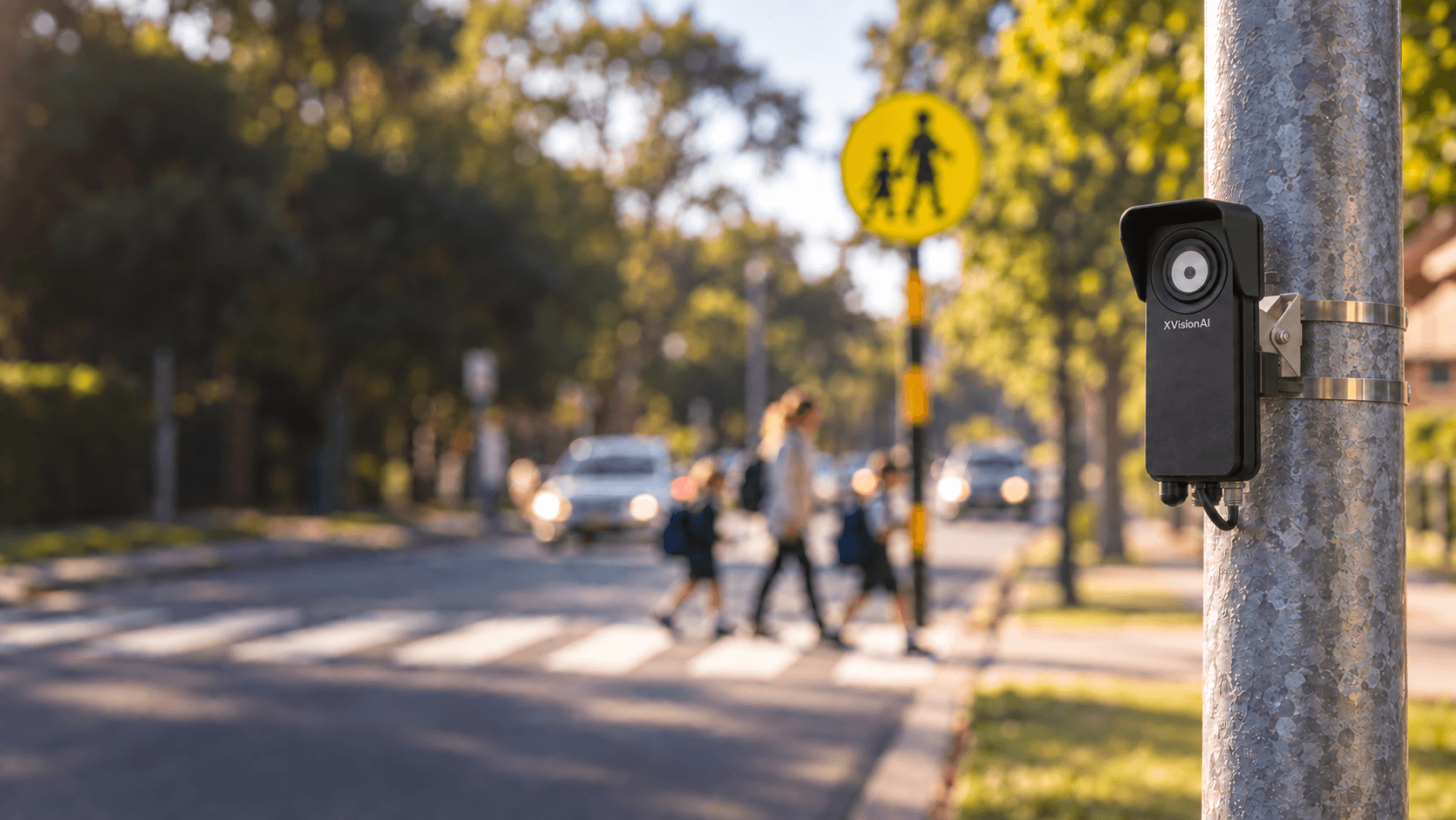
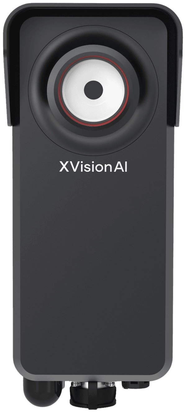
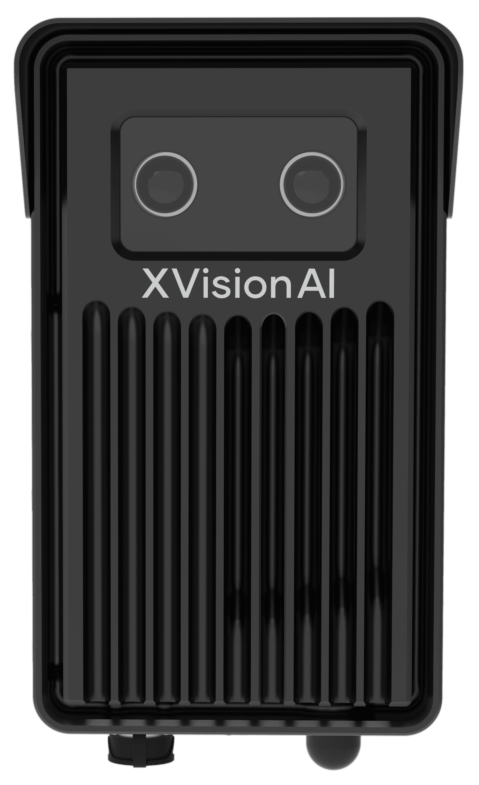
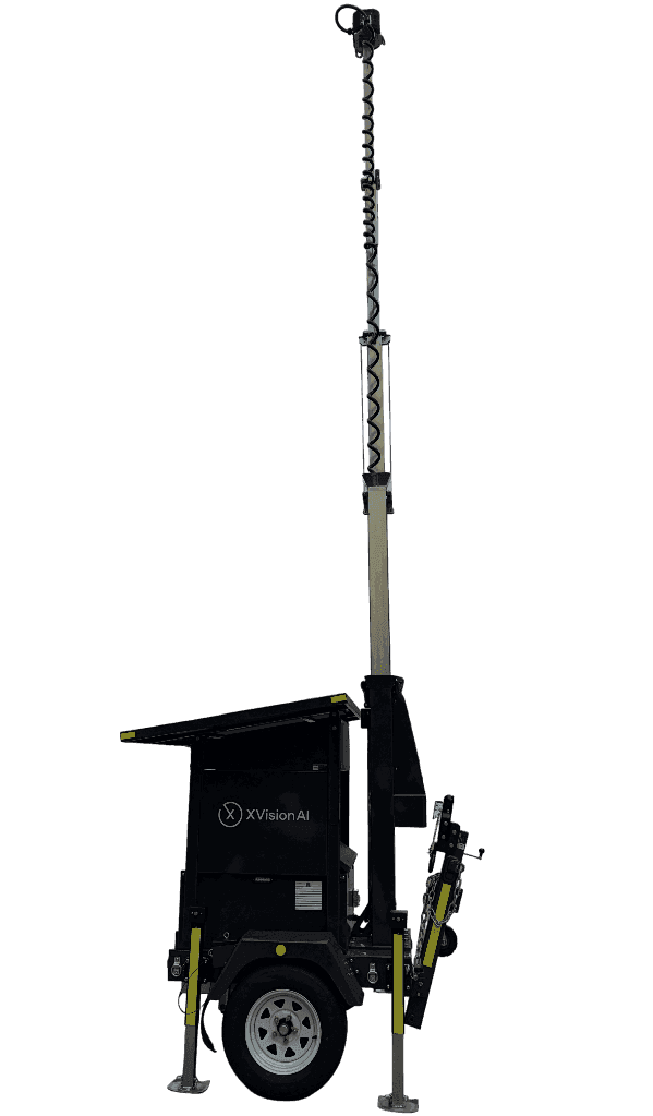
XVision captures how road users move, behave and interact, revealing risk conditions existing sources often miss. Deploy Scout, EagleEye or Outpost for the capability and duration each location needs, producing measurable, video-backed evidence for engineering decisions.

Different hardware.Same intelligence layer.Same location record.

Command

One location. The complete record.From question to measured outcome.

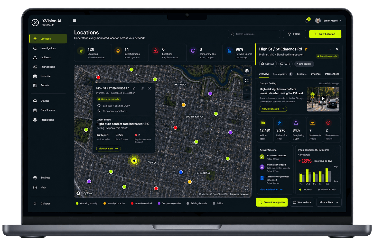
Command organises the data, investigations, evidence, interventions and reports for each road location. Teams can see what was asked, what the evidence showed, what changed and whether it worked, without replacing the systems already in use.

XVision Command showing High St and St Edmonds Rd within a connected road network

XVision evidence package

High St / St Edmonds Rd

Question
Why are drivers not yielding during the school peak?
Validated evidence
Existing CCTV · connected vehicle data · previous studies and reportsXVision Scout · real-time and behavioural evidence
Key measures
84% yielding
11 high-risk interactions
Peak risk: 8:15 to 8:45 am
Transport risk score
78 / 100High priorityExposure, conflict frequency and interaction severity
Engineering review outcome
Intervention recommended

Methodology · source register · annotated events · charts · report-ready outputs

Know whether it worked.

Command keeps the baseline, intervention and follow-up evidence together, making change measurable, defensible and ready to report.

Before

84% yielding

11 high-risk interactions observed

Intervention

Raised crossing installed

Engineering decision implemented

After

96% yielding

High-risk interactions reduced by 73%

Every location strengthensthe whole network.

Command turns each location record into shared engineering intelligence. Benchmark similar sites, compare intervention performance and carry proven evidence and expertise into the next decision.

One location record

High St / St Edmonds Rd

  1. FEBRUARY

    Complaint received

    Unsafe crossing behaviour reported

  2. MARCH

    Investigation created

    Question, available evidence and study scope connected to the location

  3. MARCH

    Similar sites reviewed

    Comparable school crossings and previous treatments examined

  4. MARCH

    Evidence collected

    Scout measured yielding, road-user interactions and risk conditions

  5. APRIL

    Engineering decision

    Raised crossing approved

  6. MAY

    Intervention

    Raised crossing installed

  7. JUNE

    Follow-up investigation

    Post-intervention evidence collected

  8. JUNE

    Intervention performance benchmarked

    96% yielding · high-risk interactions reduced by 73%

  9. JUNE

    Outcome added to organisational knowledge

    Evidence, decision and measured result available for future locations

Public-sector assurance

Ready for transport, IT and governance review.

Data sovereignty · privacy-by-design · secure, documented APIs · independent validation · clear ownership, retention and audit controls

Read the engineering dossier
City of Stonnington

From one deployment to a municipality-wide road intelligence network.

What began on Melbourne's Chapel Street corridor became a long-term intelligence platform supporting traffic operations, road safety, active transport and investment decisions across the City of Stonnington.

In operation
7+ yrs
Roadside units
40+
Deployment model
Permanent + temporary

Evidence in use

  • Data and evidence informing 30 km/h speed recommendations to state authorities
  • Support for shared-zone and cycling-path upgrades and investment
  • Evidence of risk and dangerous road-user behaviours
  • Movement, utilisation and risk evidence supporting the implementation and evaluation of the City of Stonnington Cycling Strategy 2020–2025
Read the Stonnington story
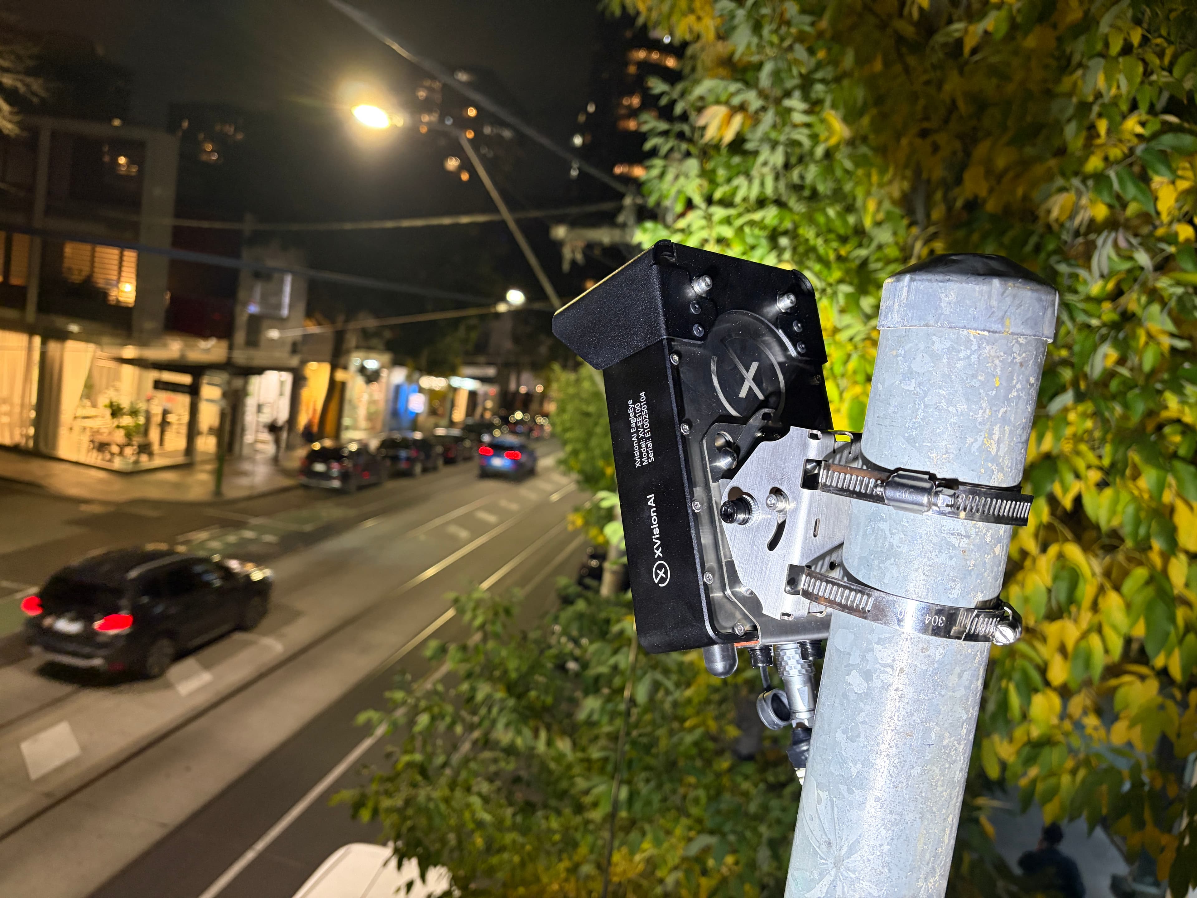
EagleEye roadside intelligence unit installed on a City of Stonnington street at night

What location are you trying to understand?

Investigate a location