
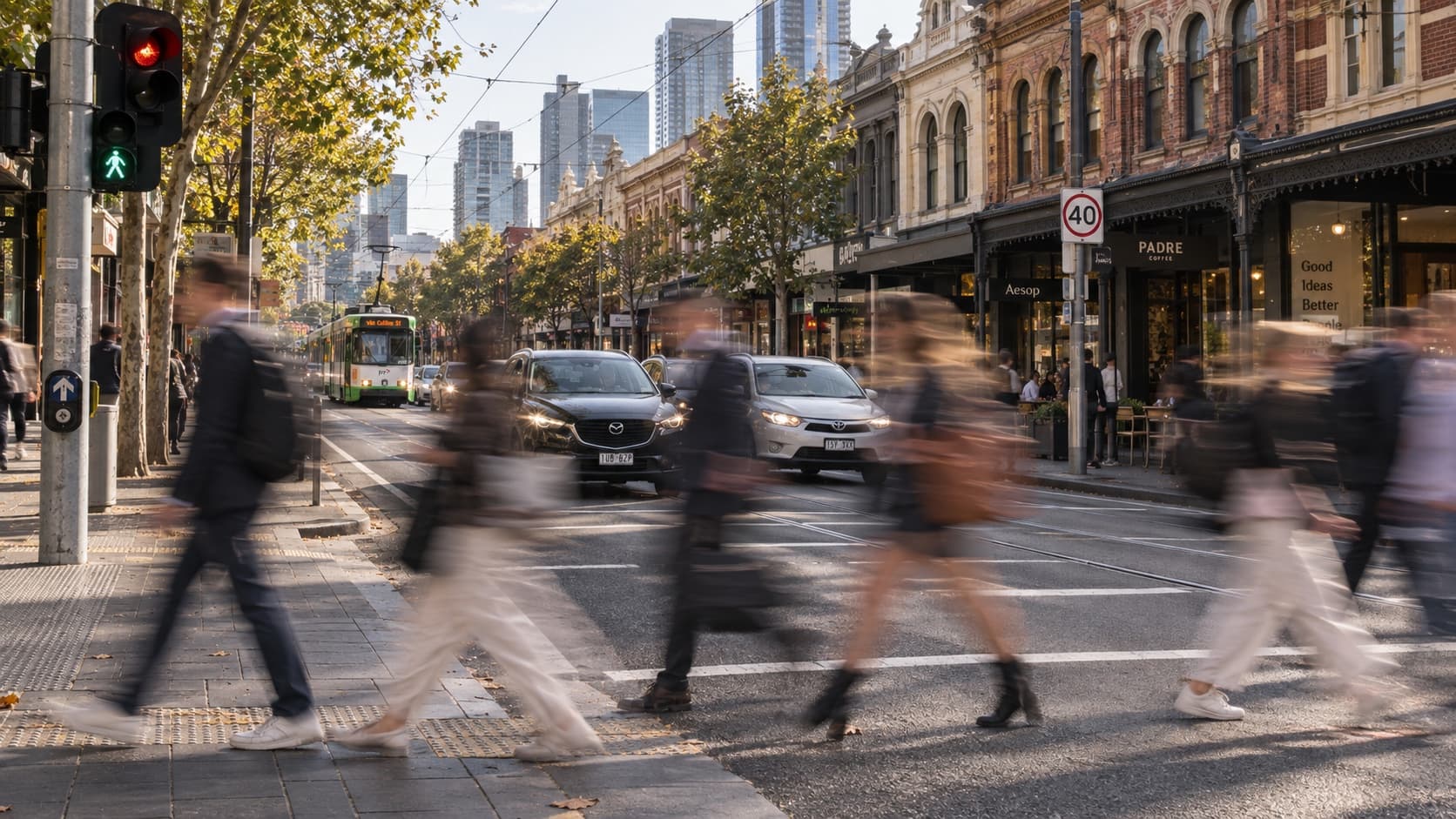
For authorities
Resolve road concerns faster without losing defensibility.
Give officers, engineers and managers one guided path from intake to evidence pack, review and approval.
Make every road intelligent
XVision brings together the cameras, data and infrastructure already on the road and adds advanced sensing where you need more.
Command keeps the evidence, investigations, decisions and outcomes together around each road location — so your team can understand what's happening, act with confidence and see what changed.
Every road decision starts with a question — where to improve safety, how to keep traffic moving or which investment will make the biggest difference. XVision brings existing evidence and real-time intelligence together so your team can decide what to do, act with confidence and see what changed.
New
Community member
Today · 8:42 am
Drivers aren’t yielding at the school crossing during the morning peak.
High St / St Edmonds Rd
01
Xvision Command
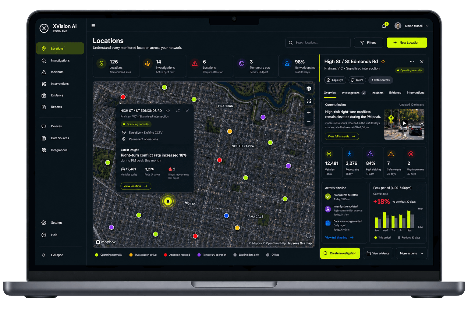
Xvision brings crash records, connected vehicle data, previous reports and local knowledge together around the location, showing your team what the existing evidence can already answer.
01
Open the investigation in one click and keep the road question tied to the right location.
02
Pull crash records, connected data, reports, footage and local knowledge into one view.
03
See immediately what the record can answer and the precise evidence still required.
04
Reuse prior investigations, decisions and outcomes instead of rebuilding context.
05
Assign the next survey or sensing activity without breaking the workflow.
06
Assemble the evidence pack and report for professional review in a few simple steps.
02
Evidence review
Xvision shows what the existing data can answer and what is still missing, so you can target the evidence needed and move straight into collection.
03
Xvision Sensing
When there’s a gap in your data, Xvision can fill it fast. Your own field team or existing traffic consultant can deploy Xvision hardware, with trusted, location-specific behavioural data available from the minute it is switched on.
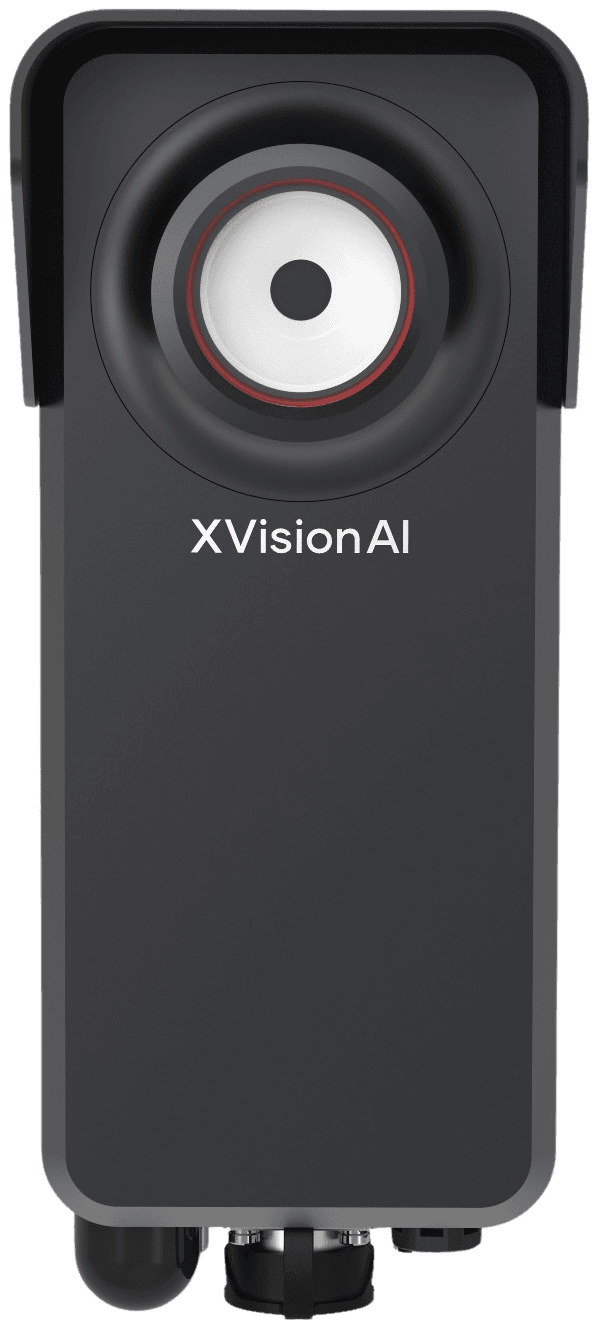
Quickly deploy targeted evidence collection when the existing location record cannot answer the question.
Explore Scout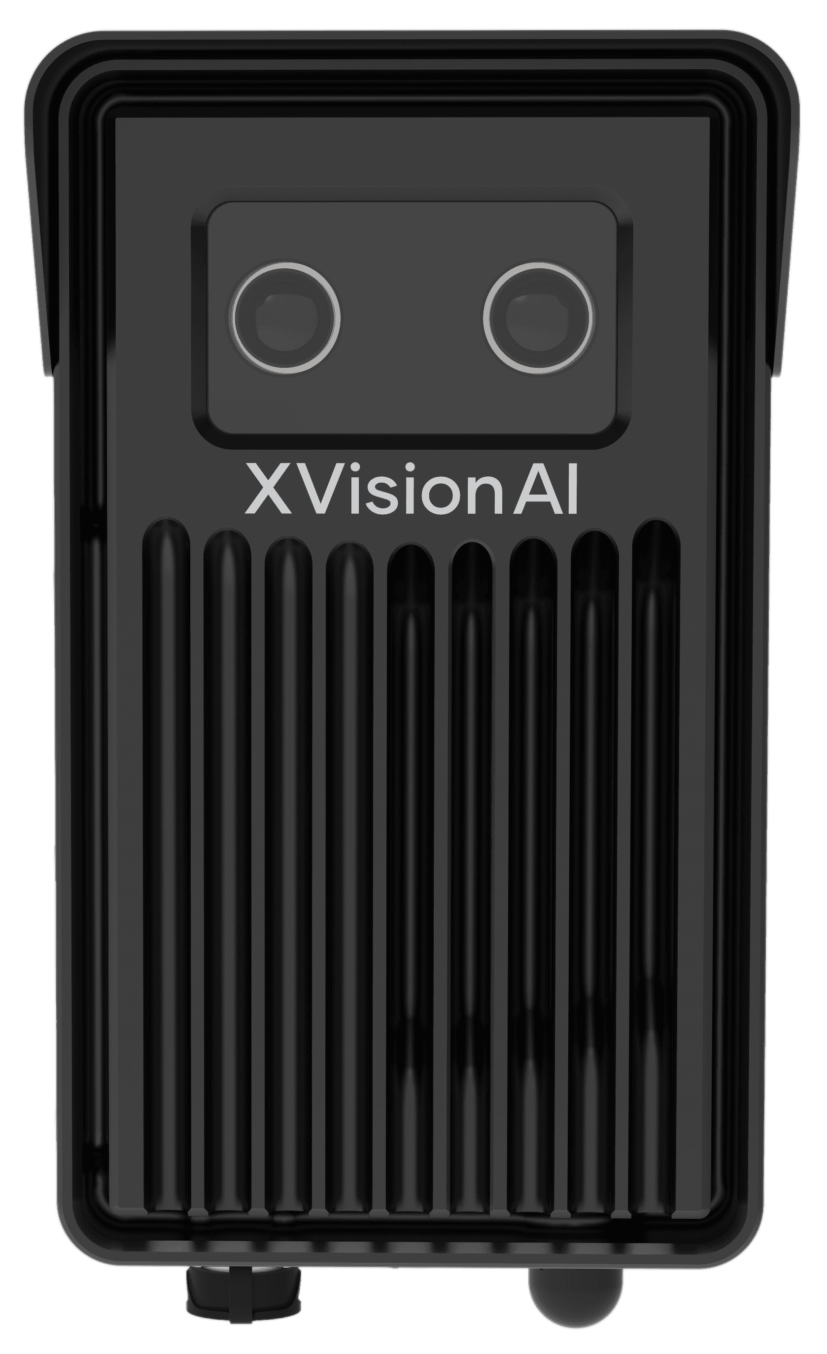
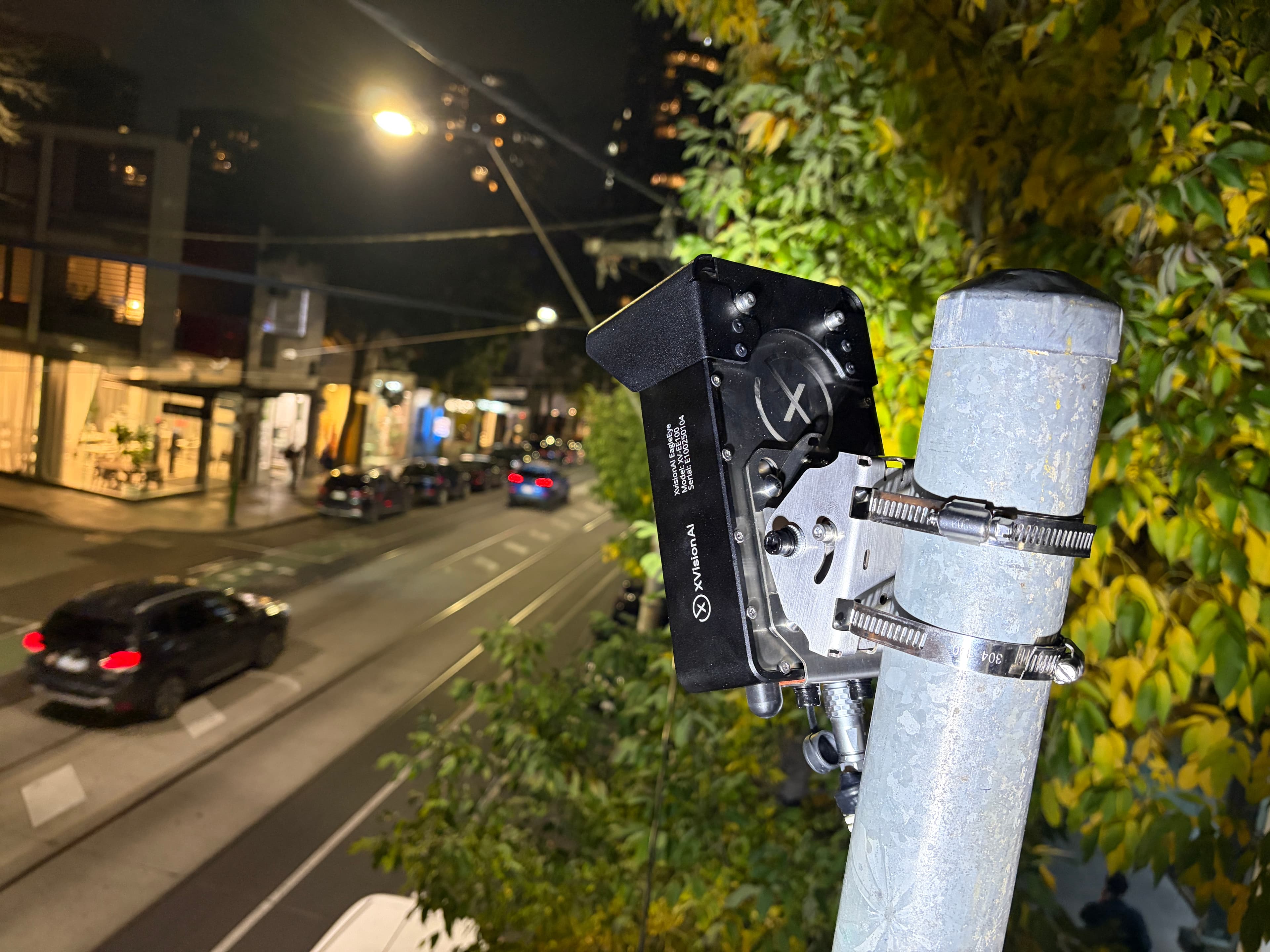
Continuously capture movement, behaviour and risk without repeating manual surveys or data handling.
Explore EagleEye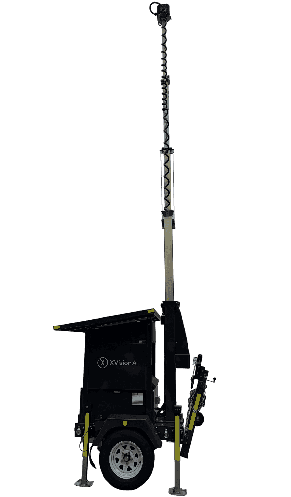
Rapidly bring self-contained evidence collection to roadworks, events, emergencies and changing conditions.
Explore Outpost04
Reviewed outcome
Xvision assembles the evidence into a clear report and supporting evidence pack in minutes, ready for your authorised professional to review, refine and approve.
05
Compounding results
Every completed investigation adds reusable evidence, reasoning, reports and outcomes to your shared library, so your team starts with more context and reaches a defensible answer faster.
Every location builds intelligence
Every investigation adds evidence, decisions, interventions and outcomes to the location record.
As more locations enter Command, your team can compare locations, see what changed, identify where attention is needed and understand what worked.
Understand what happened
Compare. Benchmark. Prioritise.
See what changed. Know what needs attention. Learn what works.
Every location makes the next one smarter.
Built for the people doing the work
For authorities
Give officers, engineers and managers one guided path from intake to evidence pack, review and approval.
For consultants
Collaborate with clients, reuse proven investigation methods and produce review-ready, evidence-backed outputs with less administration.

What began on Melbourne's Chapel Street corridor became a long-term intelligence platform supporting traffic operations, road safety, active transport and investment decisions across the City of Stonnington.
Evidence in use
Featured in





Make every road intelligent
Bring us a road, crossing or corridor. We’ll help you connect what you already know, understand what’s happening and decide where to act — then see what changed.