
XVISION SCOUT
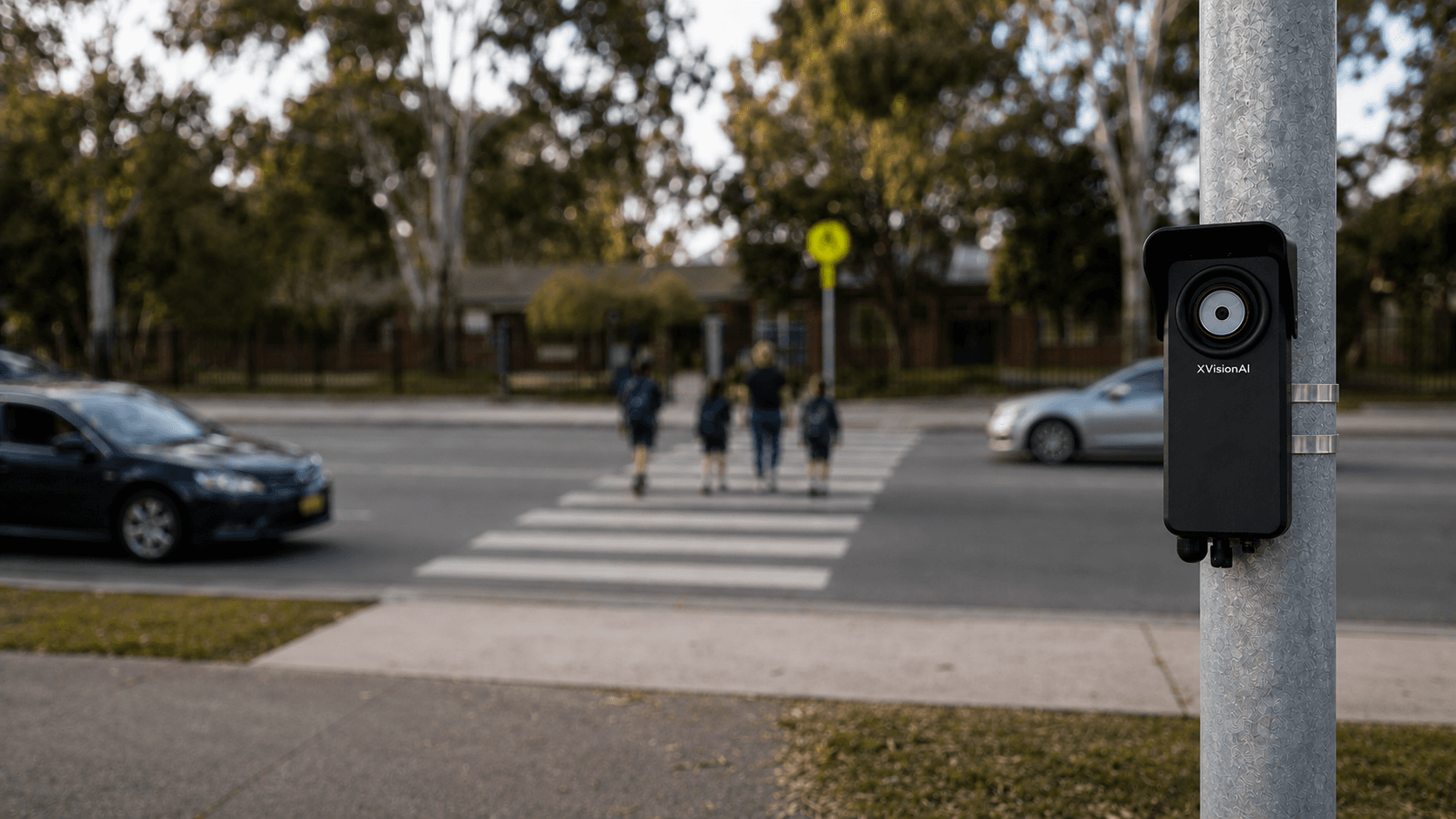
XVISION SCOUT · DEPLOYABLE ROAD INTELLIGENCE
Put intelligencewhere you need it.
Deploy Scout for days, months or permanently to understand a road location, gather the evidence and decide what happens next. Battery for rapid investigations. Solar for continuous intelligence.
Use what you have.
Deploy Scout where you need to see more.
Connected-vehicle and network data can answer many questions. When the decision depends on seeing the physical scene—children crossing, drivers yielding, parking behaviour or multimodal interactions—deploy Scout for as long as the location needs intelligence.
SCHOOL ZONES & CROSSINGS
Are children crossing safely when school traffic peaks?
BEFORE / AFTER STUDIES
Did the intervention actually change behaviour?
PARKING & LOADING ZONES
How is the kerb being used—and where is it breaking down?
PEDESTRIANS, CYCLISTS & SHARED PATHS
Where are people moving, waiting, yielding or coming into conflict?
INTERSECTIONS & ROUNDABOUTS
What is happening here that your existing data cannot show?
DEPLOYMENT MODE
Do you need evidence for a week—or visibility for years?
Same Scout. Different deployment.
Days, months or permanently.
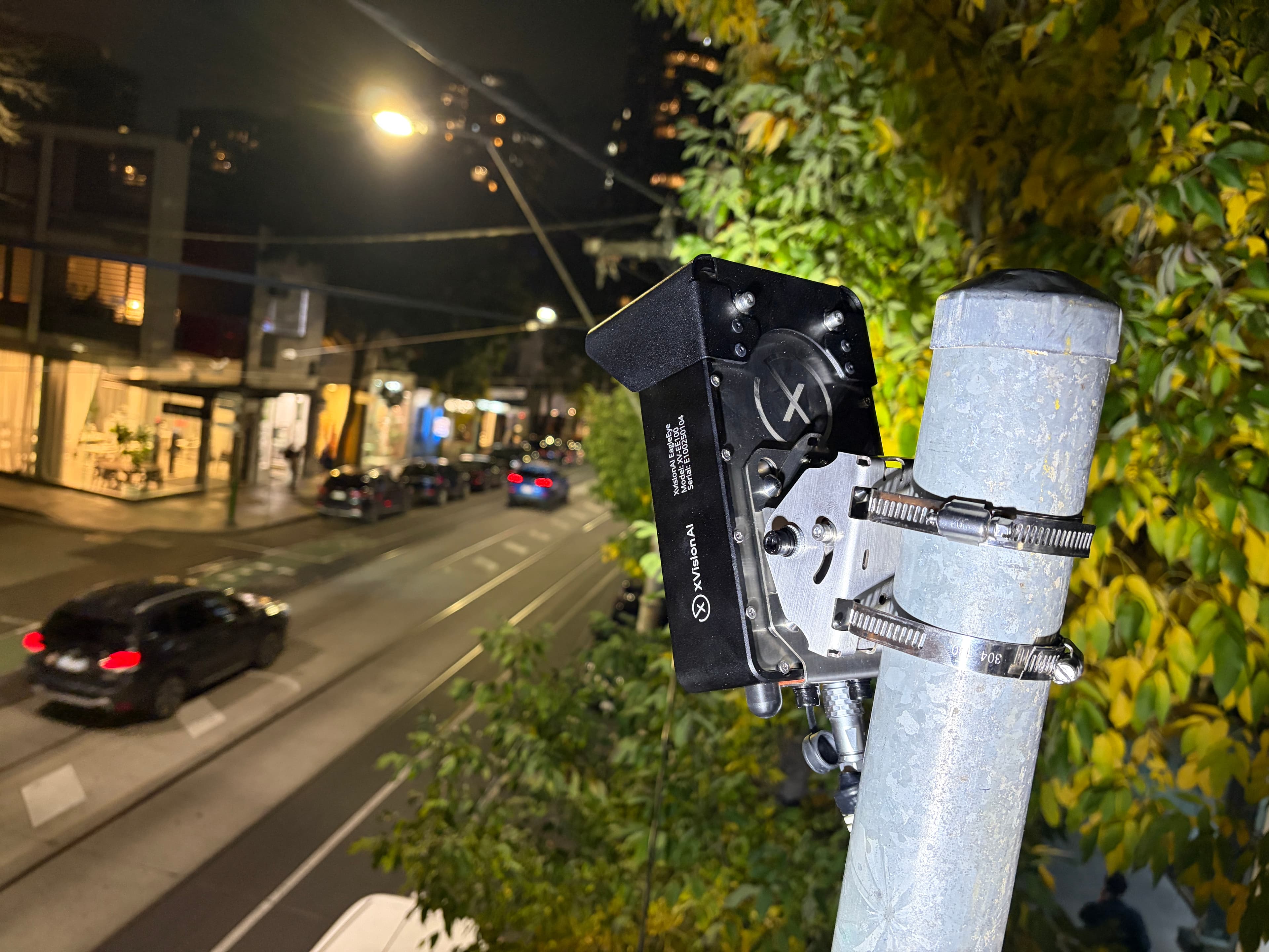
Mount Scout in 15 minutes on existing roadside assets. Use battery power for rapid investigations or solar with battery storage for continuous intelligence. Leave it in place—or recharge and redeploy it when the question is answered.
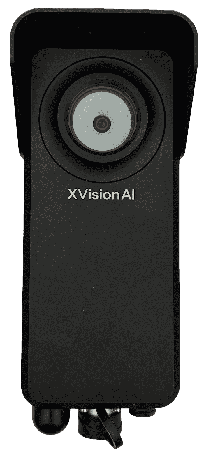
15-minute deployment
Mount on existing poles, lighting and roadside assets.
IP67 / IK10 aluminium housing
Engineering-grade protection for temporary or permanent roadside deployment.
Battery-powered investigations
Deploy for days or weeks, then recharge and reuse.
Edge processing
Process observations locally at the roadside.
Cellular + Command
Bring each location online without cabinets, fibre or trenching.
Solar + battery storage
Leave Scout in place for continuous or permanent intelligence.
One Scout.
The intelligence each location needs.
Configure Scout around the question at each site. Activate the modules you need now, then add capability later—without replacing the roadside node.
Compact hardware, edge processing, cellular connectivity and Command provide one common foundation across every deployment.
Counts & classification
Question it answers
How much traffic is using the road—and what is it?
Decisions it supports
Network planning · Traffic studies · Modal demand
Speed observations
Question it answers
Where and when are vehicles travelling too fast?
Decisions it supports
Speed management · School zones · Before-and-after analysis
Queue & delay analysis
Question it answers
Where do queues form, how far do they extend and how long do they last?
Decisions it supports
Congestion · Corridor performance · Drop-off pressure
Occupancy monitoring
Question it answers
How are parking, kerbside areas and public spaces being used?
Decisions it supports
Kerbside planning · Parking utilisation · Public-space planning
Live visibility & evidence
Question it answers
What is happening now—and what evidence should be retained?
Decisions it supports
Incident verification · Community concerns · Operational evidence

From one deployment to a municipality-wide road intelligence network.
What began on Melbourne's Chapel Street corridor became a long-term intelligence platform supporting traffic operations, road safety, active transport and investment decisions across the City of Stonnington.
- In operation
- 7+ yrs
- Roadside units
- 40+
- Deployment model
- Permanent + temporary
Evidence in use
- Data and evidence informing 30 km/h speed recommendations to state authorities
- Support for shared-zone and cycling-path upgrades and investment
- Evidence of risk and dangerous road-user behaviours
- Movement, utilisation and risk evidence supporting the implementation and evaluation of the City of Stonnington Cycling Strategy 2020–2025
CONNECTED TO COMMAND
Every Scout deployment. One operating view.
Whether Scout is deployed for days, months or permanently, Command brings live conditions, site health, evidence and historical analysis into one location-based view. Compare sites, manage deployments and share evidence across the network.
Explore Command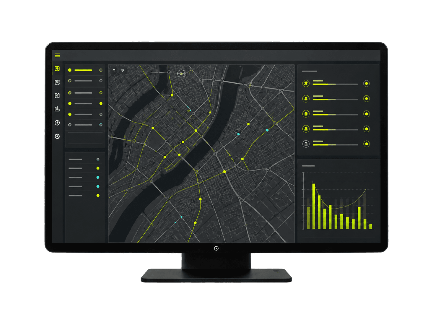
From one investigation to network-wide coverage, every Scout strengthens the same connected intelligence system.
Scout + CommandSpecifications designed
for deployment anywhere.
Compact hardware, flexible power, cellular connectivity and simple mounting make Scout practical for rapid investigations and continuous roadside intelligence—without cabinets, fibre or civil works.
Physical size
148 × 59 × 36 mm
A compact form factor designed for installation on existing roadside assets.
Deployment time
15 minutes
Install on existing poles, lighting and roadside assets.
Power options
30-day battery or solar
Use rechargeable battery power for 30-day deployments, or solar with battery storage for continuous operation.
Installation envelope
2.4–7.5 m mounting height
Mount Scout to suit local streets, school zones, shared paths and highway corridors.
Roadside resilience
IP67 · IK10
Weather- and vandal-resistant aluminium housing for temporary or permanent roadside operation.
Communications
4G LTE
Bring sites online without cabinets, fibre or local communications infrastructure.
Detection range
Up to 50 m
Monitor road activity across distributed roadside locations.
Road coverage
Up to 2 lanes
Monitor two traffic lanes from one compact roadside node.
Maximum vehicle speed
Up to 100 km/h
Observe vehicles across local-road and highway environments.
Road-user classification
5 vehicle classes
Classify five vehicle classes while also detecting pedestrians and cyclists.
Count accuracy
95% accuracy
Reliable traffic counts for planning, performance monitoring and investment decisions.
Evidence retention
30 days
Keep supporting evidence available for review, reporting and analysis.
Start with one location
Put Scout where you need answers.
Bring us a road location and the question your team needs answered. We'll recommend the right modules, power setup and deployment model—from a 30-day investigation to continuous network-wide visibility.