
SEE
Continuously perceive road users and changing conditions.
Activatable software modules
- Road-user classificationModule
- Trajectories & turning movementsModule
- Queues, speed & delayModule
- Pedestrian & cyclist presenceModule
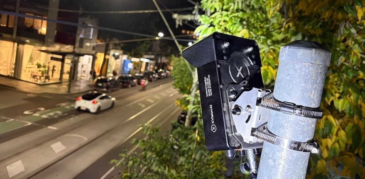
EAGLEEYE · PERMANENT OPERATIONS
EagleEye continuously understands road users, safety events and traffic conditions at the roadside—turning them into evidence, alerts and real-time inputs for the infrastructure you already operate.
Deploy EagleEye permanently where continuous understanding, low-latency decisions, evidence and real-time infrastructure inputs matter.
SAFETY INTELLIGENCE
APPROVED ENFORCEMENT
TRAFFIC OPERATIONS
TRANSIT PRIORITY
INFRASTRUCTURE INPUTS
INCIDENT EVIDENCE
EagleEye is engineered to remain at the roadside, process intelligence locally and connect with the systems already operating the road.
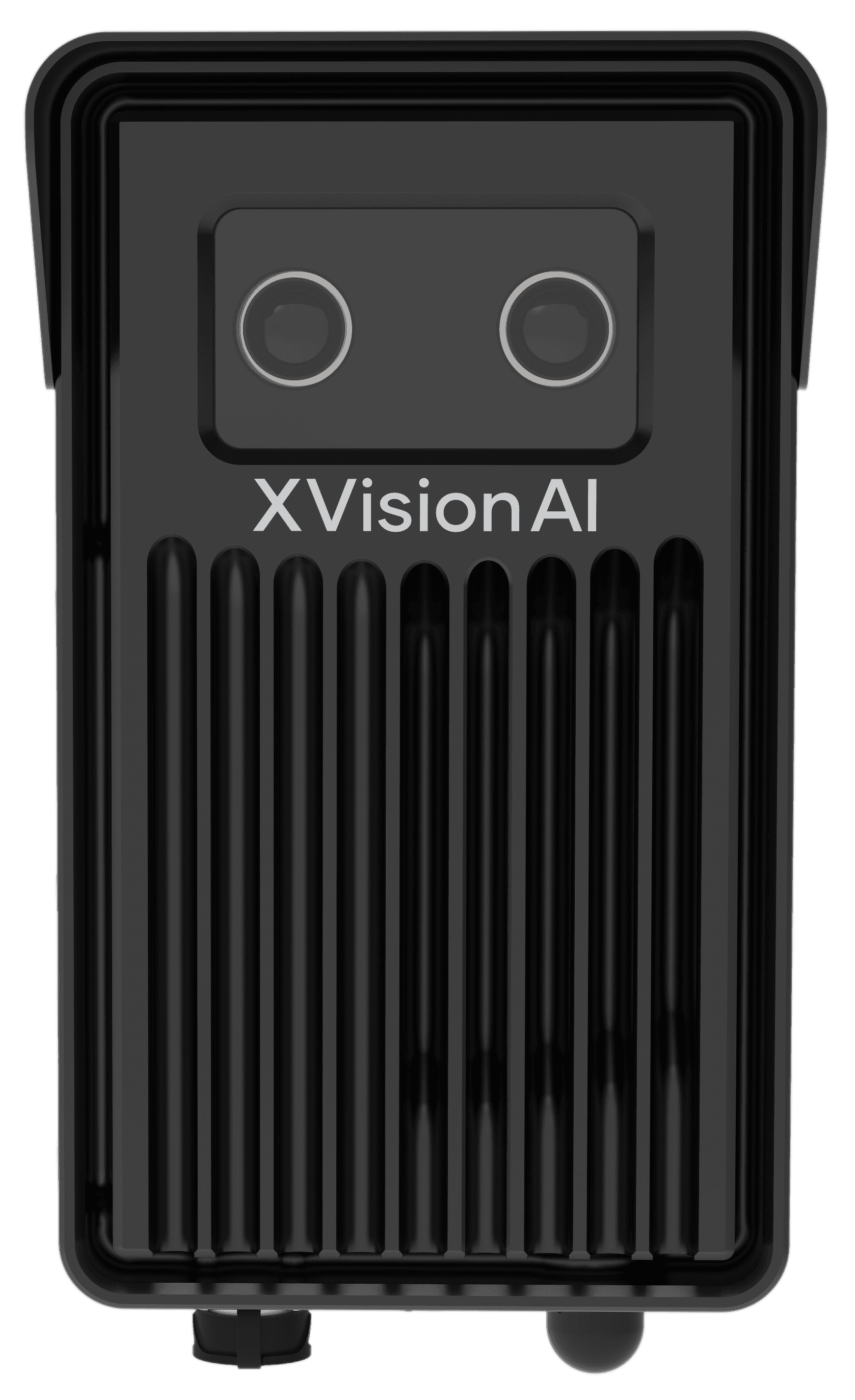
Stereo road perception
Understand depth, trajectories and interactions across complex road scenes.
Passive thermal design
Fewer moving parts for dependable continuous operation.
IP67 / IK10 aluminium housing
Built for weather exposure and roadside impact resistance.
Decisions at the edge
Process events locally for low-latency outputs while minimising unnecessary raw-video transmission.
Industrial system interfaces
Connect through Ethernet, RS485, CAN bus, BACnet and digital I/O.
4G LTE connectivity
Keep permanent sites connected where fixed communications are unavailable.
Install EagleEye once, then activate additional software capabilities as operational priorities evolve—from perception and safety analysis to evidence and infrastructure inputs. The roadside foundation remains in place.
Continuously perceive road users and changing conditions.
Activatable software modules
Understand behaviour, risk and events locally at the roadside.
Activatable software modules
Turn understanding into evidence and infrastructure inputs.
Activatable software modules
Works with existing infrastructure
Add perception where you need it. Keep the systems you already operate.
EagleEye can provide richer inputs to signals, warning systems, traffic-management platforms and Command while control remains with the customer's existing infrastructure.

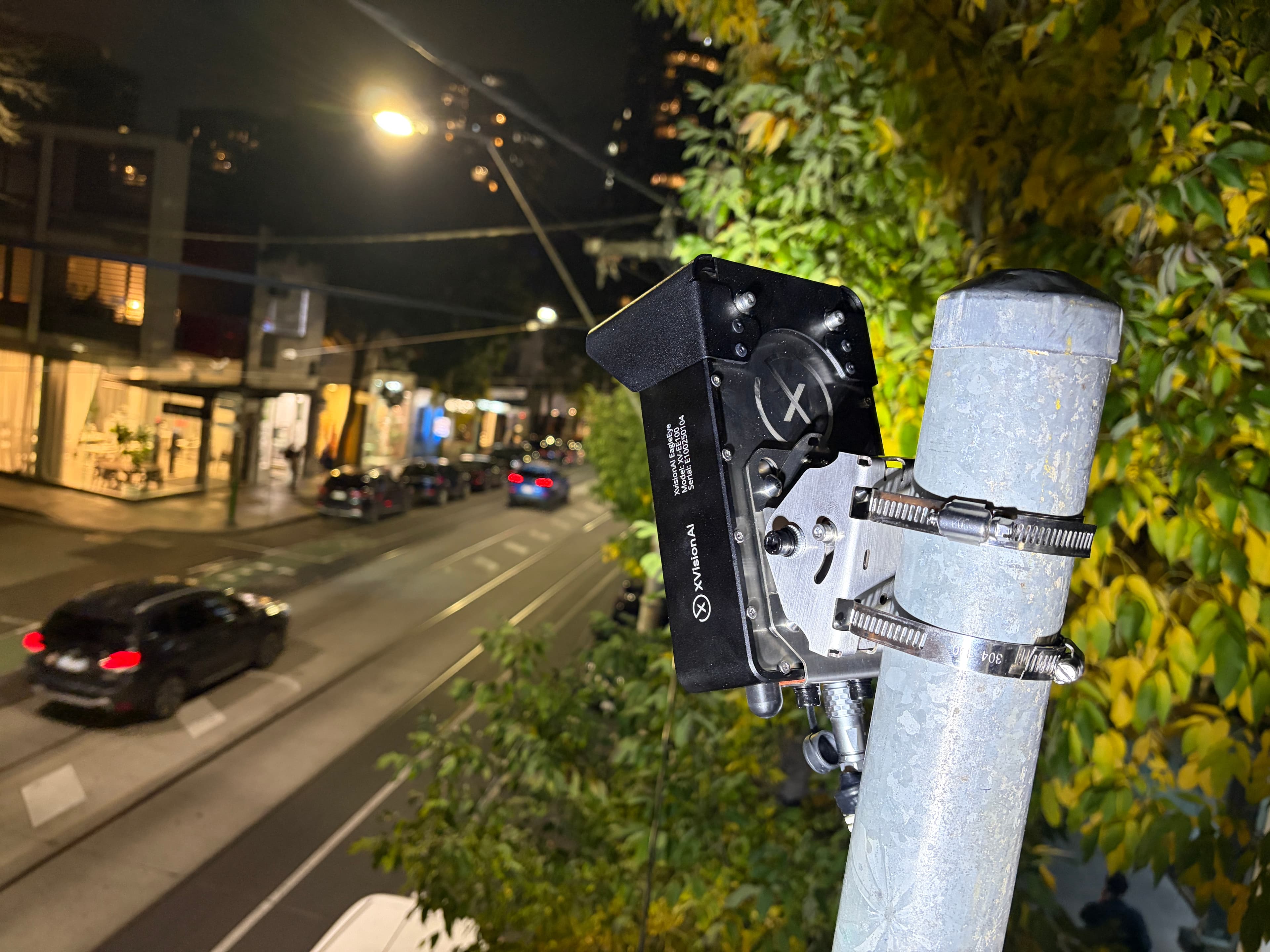
What began on Melbourne's Chapel Street corridor became a long-term intelligence platform supporting traffic operations, road safety, active transport and investment decisions across the City of Stonnington.
Evidence in use
CONNECTED TO COMMAND
EagleEye sends findings, safety events, incidents and relevant evidence into Command. Traffic teams can see what is happening now, what happened before and whether an intervention worked.
Command brings EagleEye together with existing CCTV, signal systems and other data sources in one location-centric operating view—so teams can manage sites, investigate events and share structured intelligence with their wider systems.
Explore Command →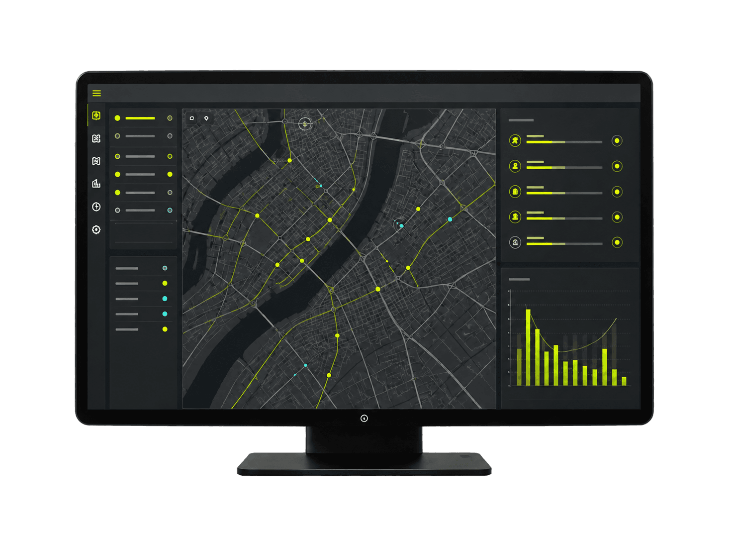
See what happened. See what changed. See whether it worked.
EagleEye + CommandThese practical parameters shape an EagleEye deployment. Final performance depends on site geometry, mounting position, configuration and environmental conditions.
Operational coverage from the stop line along the intersection approach.
Cover an intersection with one device, or combine devices for a wider field of view.
Flexible installation across different intersection geometries and roadside assets.
Classify vehicles while also detecting pedestrians and cyclists.
Create the core traffic dataset engineers use for analysis, planning and reporting.
Reliable traffic counts for operational analysis, planning and investment decisions.
Less than 0.0106 seconds from roadside detection to a local output.
Retain relevant traffic data and video footage onboard for review and analysis.
RS485, CAN, BACnet and digital I/O connect EagleEye to nearby assets.
Aluminium, passively cooled housing for permanent roadside operation.
Designed for continuous roadside operation across a wide temperature range.
A compact form factor designed for discreet installation on existing infrastructure.
EagleEye deployment
We'll map the location, operational objective and existing infrastructure to a practical EagleEye deployment—for safety, operations, evidence or approved enforcement in supported jurisdictions.