
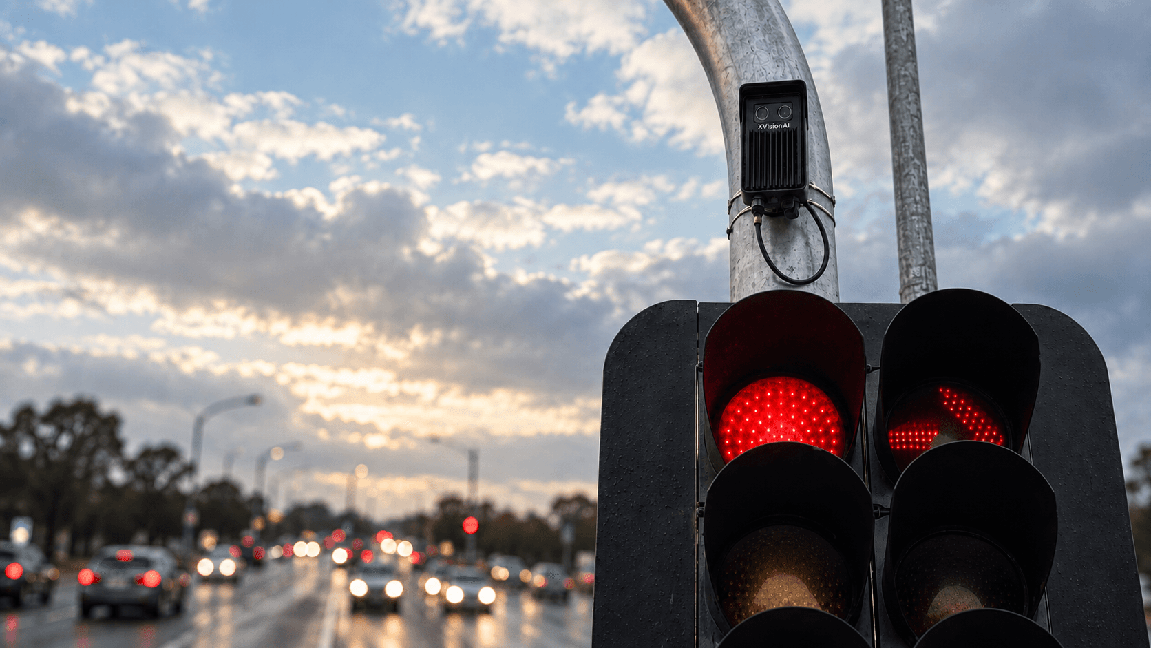
XVISION FOR ROAD & TRANSPORT AGENCIES
See behaviour.Act on risk.
XVision complements the cameras, transport data and roadside infrastructure you already have with purpose-led sensing for real-time behaviour, interaction and risk.
Defend decisions with richer evidence and, where approved, turn intelligence into real-time signal, VMS and enforcement action.
THE LOCATION WORKFLOW
Cut the time from
risk to response.
One location-led workflow connects existing data, live behavioural intelligence, approved local response and portfolio benchmarking—without creating another disconnected system.
Major arterial intersection
Dandenong Road / Springvale Road
Which risks emerge through the PM peak, how quickly do they trigger a response, and how does this intersection compare with the wider network?
01
Set the baseline
Existing data + network context
Start with the live and historical sources already available—and benchmark the location against the wider portfolio.
02
See risk forming
Purpose-led XVision sensing
Measure interactions, yielding, near-misses and risk as conditions unfold at the intersection.
03
Respond sooner
Immediate response, at the location
Alert agency teams to incidents, automate approved signal and VMS actions, and capture the evidence required for enforcement.
04
Benchmark performance
XVision benchmarks every location
Compare each location against the agency portfolio, then forward the complete event, action and evidence record to agency systems for reporting and investment planning.
Identify behaviour. Detect incidents.
Trigger agency-approved responses.
XVision continuously identifies interactions, behaviour and incidents at the location. Where the agency has approved a response, it can trigger local action and retain the evidence needed for review, enforcement and reporting.
INVESTIGATE
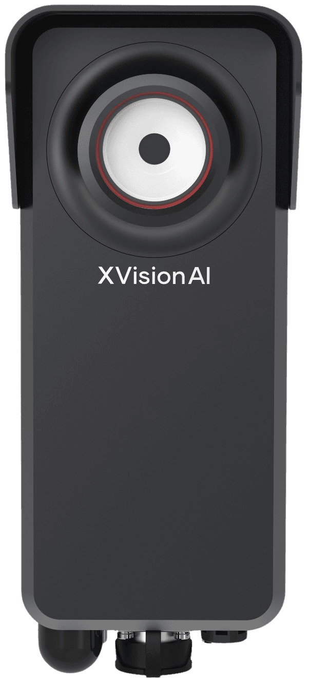
Scout
Rapidly add behavioural and risk intelligence when existing sources cannot answer a location question.
Explore Scout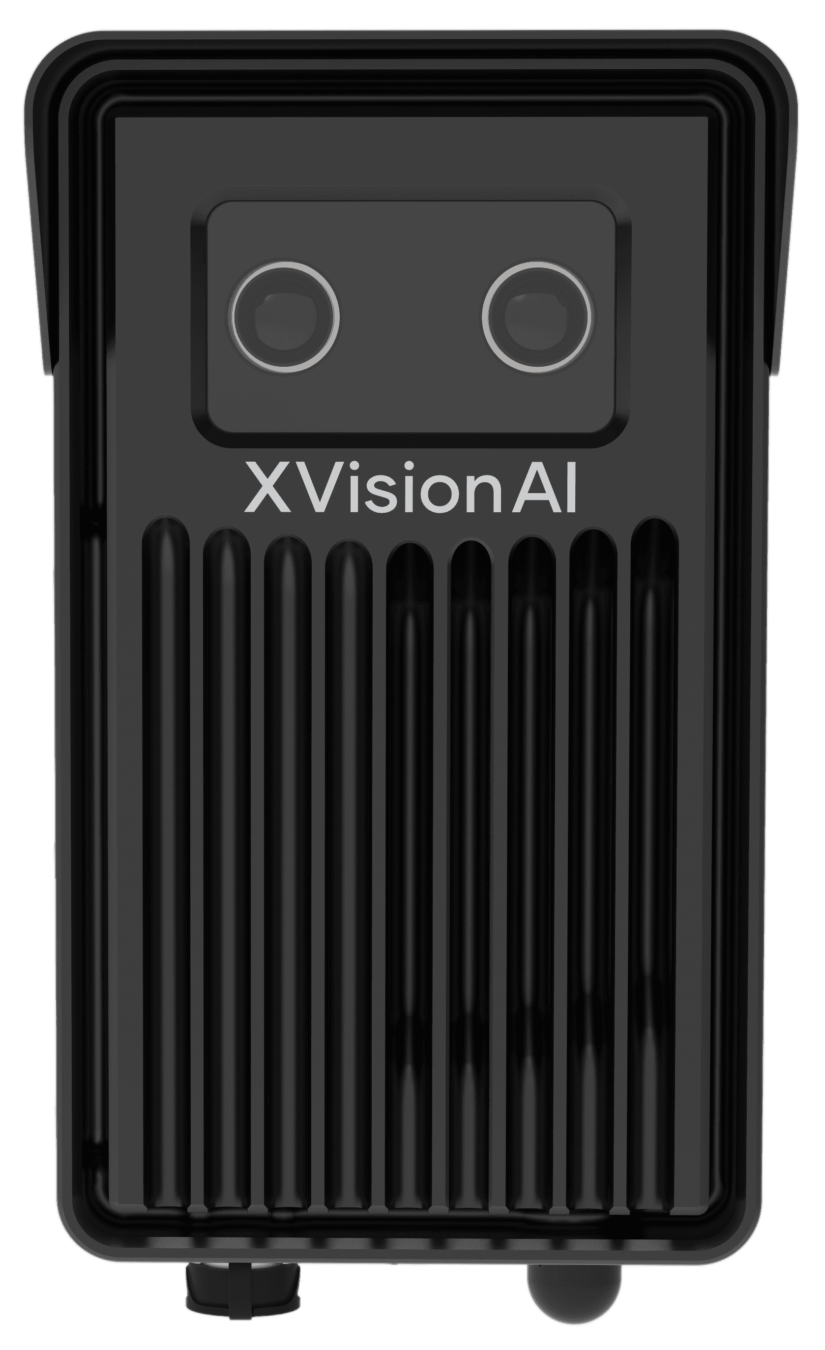
UNDERSTAND + ACT
EagleEye
Continuous 3D perception for behaviour, interaction and real-time risk—with approved local response.
Explore EagleEye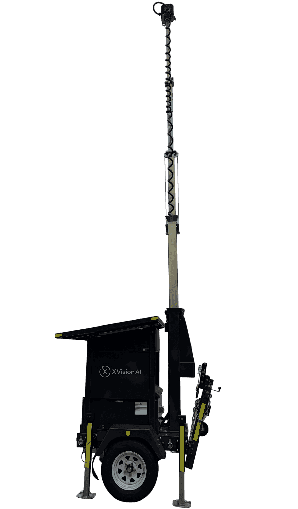
RESPOND
Outpost
Bring live intelligence to roadworks, emergencies, events and emerging conditions—wherever it is needed.
Explore OutpostLive intelligence.Approved local response.Defensible evidence.
COMMAND · LOCATION EVIDENCE
Retain the evidence.
Benchmark every location.
Command captures the live event and its local context, gives teams the evidence to review, and applies the response policy they set. The structured event, action and outcome package can then flow into existing agency systems—while XVision benchmarks each location against the wider network.
- 01
Capture the event
Retain live behaviour, risk and incidents with the physical context of the location.
- 02
Review the evidence
Give teams the event, supporting evidence and location history needed to assess what happened.
- 03
Set the response policy
Define the alerts and local actions approved for the location and conditions.
- 04
Benchmark the location
Compare safety and operational performance against the agency portfolio using consistent measures.
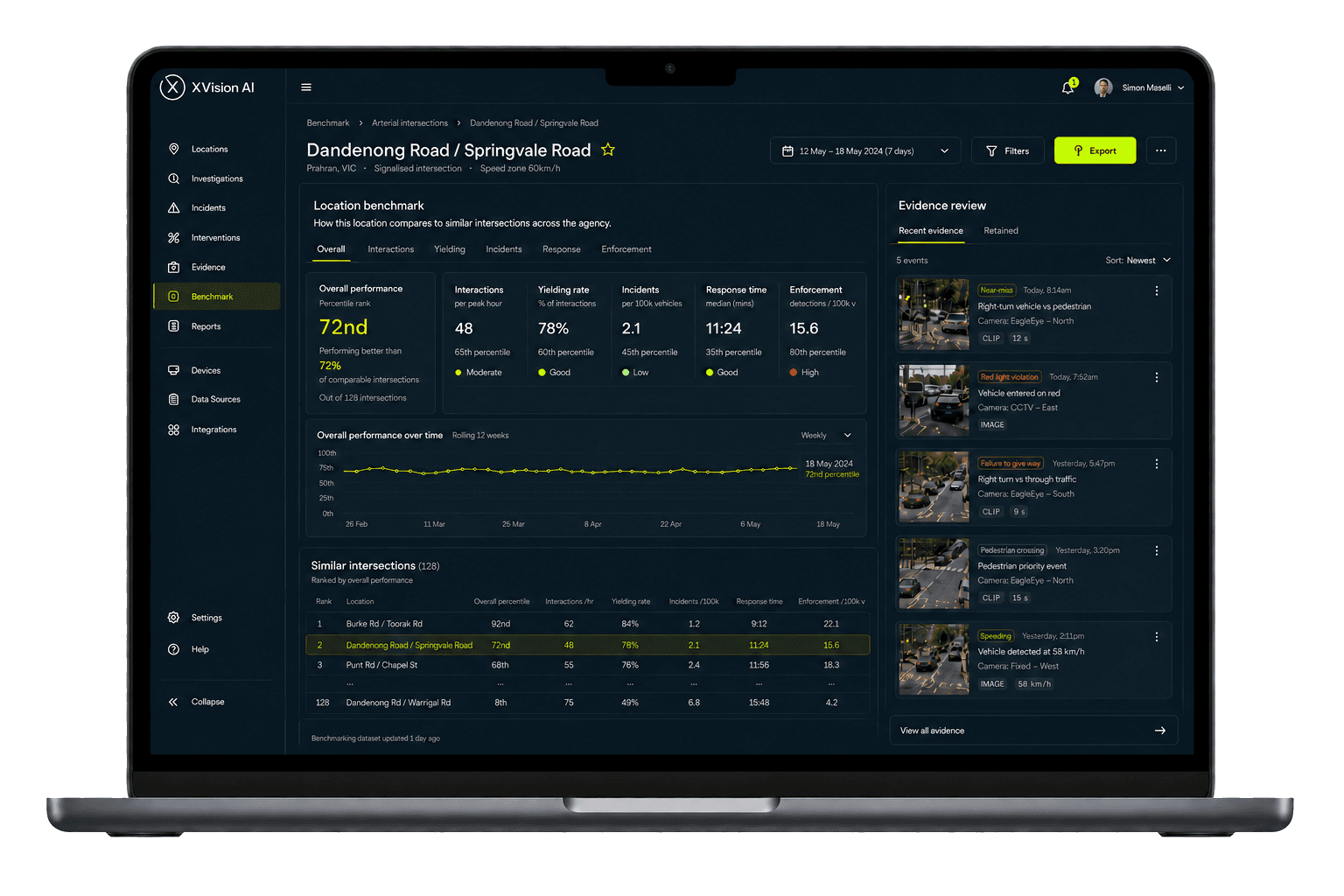
Portfolio benchmark
See how each location compares.
The same measures at every monitored location make performance comparable, outliers visible and future investment easier to prioritise.
Dandenong Road / Springvale Road
72nd percentile
Compared with 128 similar arterial intersections
- Interactions
- 65th
- Response
- 35th
- Enforcement
- 80th
percentile
percentile
percentile
ENGINEERING ASSURANCE
Evidence your engineers can interrogate.
A defensible workflow depends on more than an AI output. XVision is designed to make evidence reviewable, limitations visible and human authority explicit.
Traceable evidence
Every finding stays connected to its location, source, investigation and reporting period—so reviewers can follow how a conclusion was reached.
Controlled deployment
Define the question, coverage and duration before collection. Validate inputs and document known limitations before evidence is used.
Human-reviewed decisions
XVision supports engineering judgement; it does not replace it. Teams review the evidence and retain authority over decisions and actions.
Measured outcomes
Repeat the same investigation after an intervention to compare like with like and show whether safety or operations materially changed.
Featured in





START WITH ONE LOCATION
Start with one location.
Scale with evidence.
Bring an intersection, corridor or program where risk and response need attention. We'll map the data and infrastructure already in place, define a practical deployment and show how it can scale into comparable evidence across the network.
Plan a location pilot- 01
Start with what exists
Use the agency data, systems and infrastructure already at the location.
- 02
Prove the response
Add the minimum sensing and approved actions needed to test the model in the field.
- 03
Scale the evidence
Use consistent measures to benchmark performance across the agency portfolio.